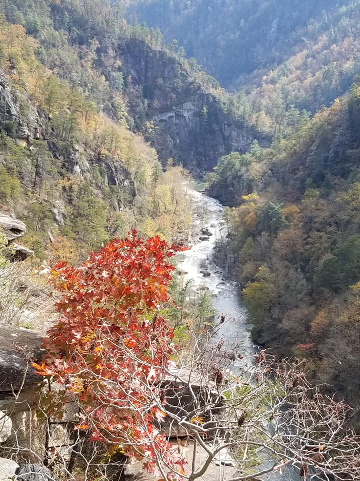
A series of four main cataracts at varying heights, Tallulah Falls has been a tourist favorite since the 1820s. It has been dubbed the “Niagara of the South”. The state park has some great hiking trails and you can get a permit to go to the floor of the gorge and do some kayaking.
Tallulah Gorge forms a natural boundary between two northeast Georgia counties, Habersham and Rabun. Construction of a dam that eventually formed a lake was completed in 1913, but not without some controversy: environmentalist and wife of Confederate general James Longstreet, Helen Dortch Longstreet, wanted to make the area a state park. She ultimately lost, but her campaign was one of the first conservation movements in the state of Georgia. In 1999, the trail system around the park was formally re-named in her honor.
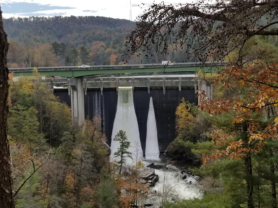
(Tallulah Dam, releasing water, fall 2018)
There are two primary trails around the gorge, one of which is associated with an interpretive center: the North Rim Trail and the South Rim Trail. The North Rim Trail can be accessed from the parking lot at the interpretive center, and from the center itself. There are a few stops along this trail, including one where an old, rusted tower appears. The tower was used by Kurt Wallenda in 1970 to cross the gorge.
The trails are fairly easy, with the North Rim Trail having a few wrought iron steps as you get closer to the cataracts. Pets are allowed on the trails, but must be leashed at all times.
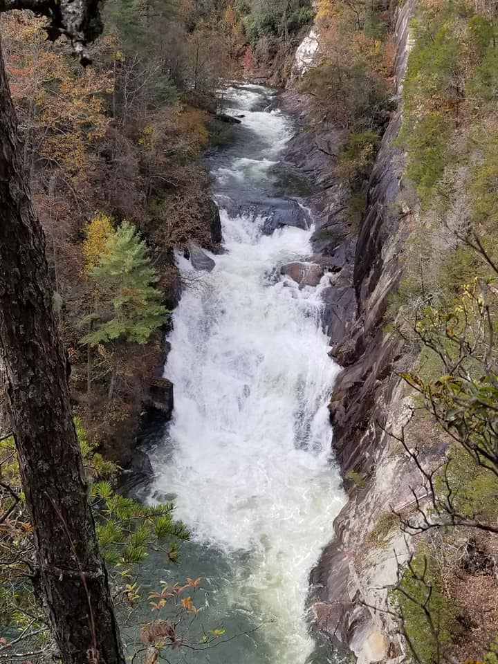
(Tempesta Falls, fed by Hawthorne Pool, which is in turn formed by Ladore Falls; near stops #2 an #3 on the North Rim Trail)
Tallulah Falls makes for a good day hike. Be sure to stay hydrated; water filling stations are available. Like Anna Ruby Falls, Tallulah Gorge State Park isn’t far from the town of Helen, so you can plan on stocking up on food and/or water there before your hike, or eating a delicious meal there afterwards.