Ever taken a walk in the woods where the only sounds were your breathing and the crunching of leaves underneath your feet? That describes Sunday, when I took my trusty husky, Emma, out for a walk at Chicopee Woods in Flowery Branch, right off Atlanta Highway.
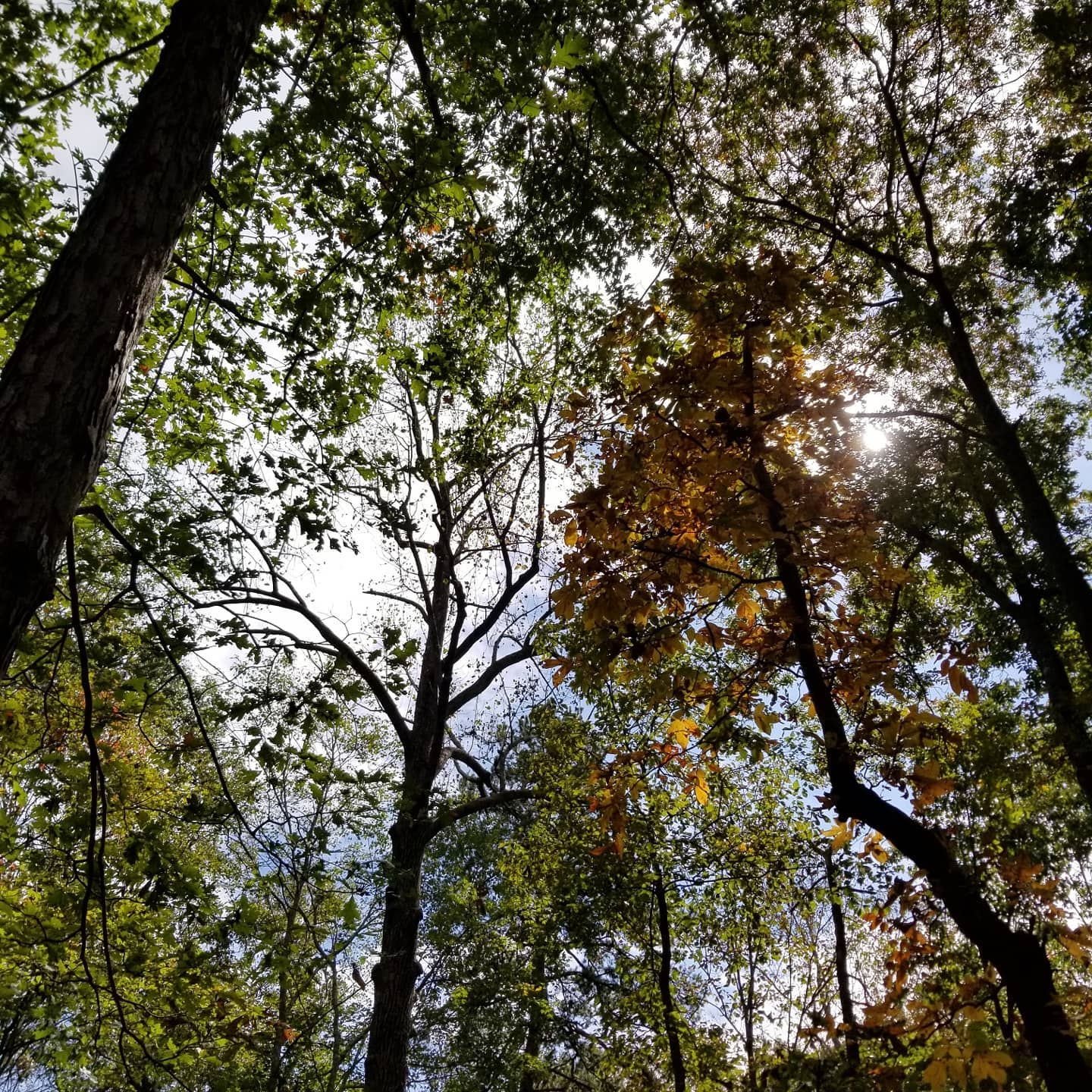
The sun was high and fall was barely in the air, with only a few trees showing gold and red colors. All trails are marked, and there are three: the easiest is the paved Geiger Trail, which leads directly from the Nature Center. It’s perfect for parents, as there are signs with illustrations from a children’s book along the trail.
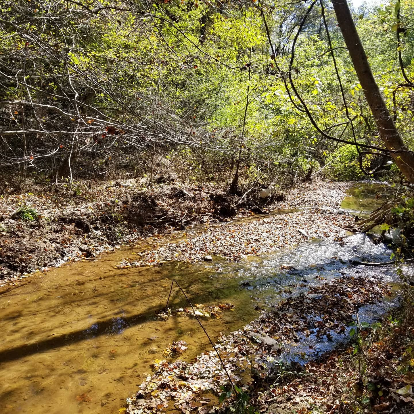
The trail we took is the Dodd Loop, which is 0.64 miles and marked red on the trail map system. It winds through Walnut Creek Valley and there are a couple of places with stones steps that take you to the water’s edge.
The longest trail is the Bridge Loop, which is nearly 3 miles and marked green. It’s a moderately hard trail that’s accessed from the Elachee Visitor Center parking lot and travels through Piedmont forest. There are five bridged stream crossings on the trail, including a 140-foot-long suspension bridge.
You can download and use the Avenza Maps app to see your location on the trails by using their GeoPDF map on your device. You can also use US Topo Maps (get the app here: https://amzn.to/31Sb21h).
If you’re interesting in learning more about Georgia hikes, pick up this guidebook (https://amzn.to/2Tmnm5a) by Tim Homan.